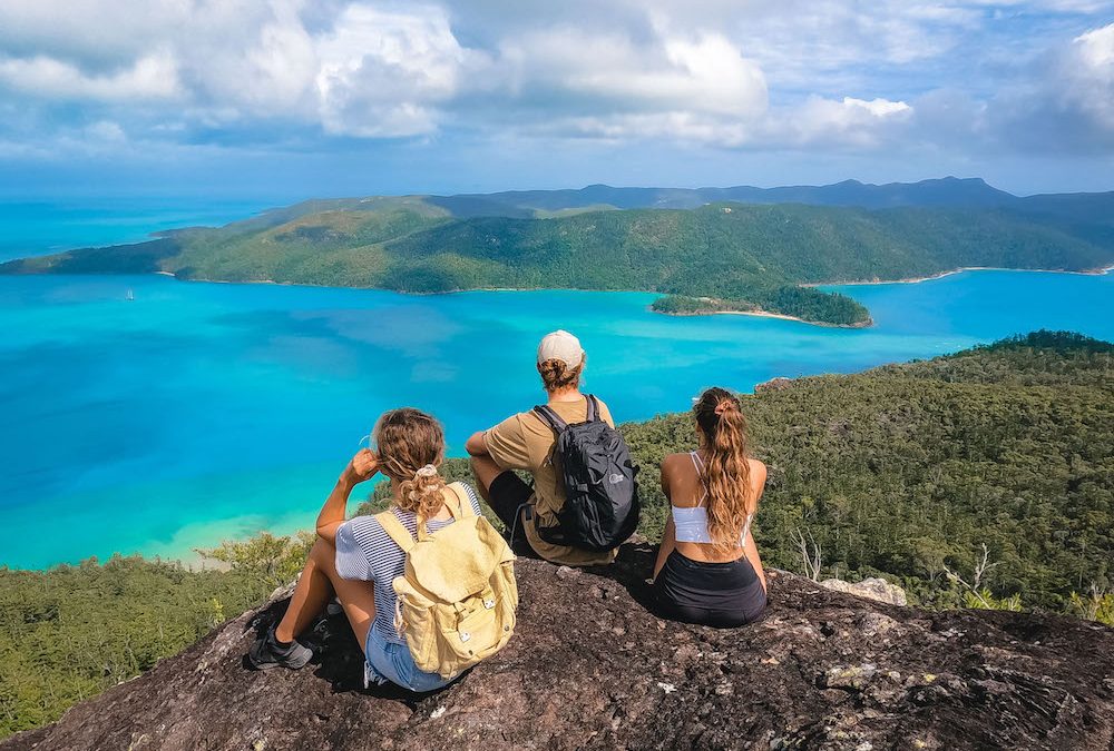
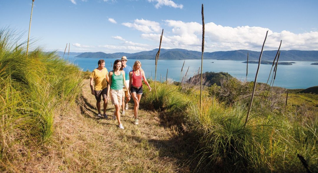
The Ngaro Sea Trail is a unique combination of seaways and hiking trails throughout the Whitsunday Islands.
The Ngaro Sea Trail is named after the Islands’ Indigenous inhabitants and the surrounding Whitsunday region, the Ngaro People. Many of the hikes along the trail have signs and information boards sharing local knowledge and pointing out culturally significant areas.
Hikers will be rewarded with diverse landscapes from grasslands to rainforests to mangroves and hope pines. Perhaps what makes hiking in the Whitsundays so remarkable is the views that many trails showcase and hikes on the Ngaro sea trail are no exception.
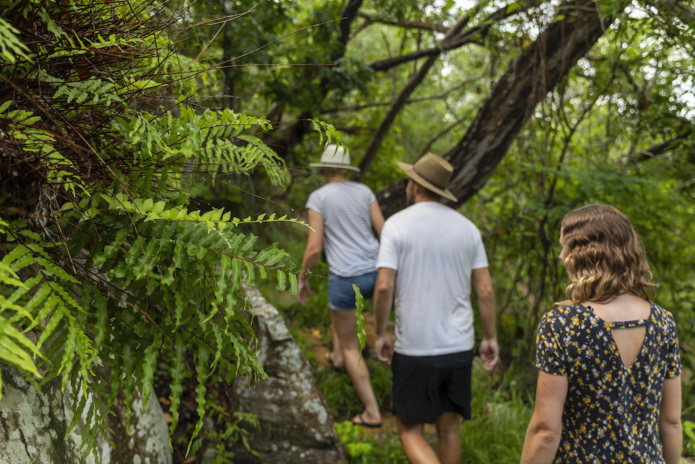
Photo Credit Queensland Tourism & Events
Accessing the Ngaro Sea Trail
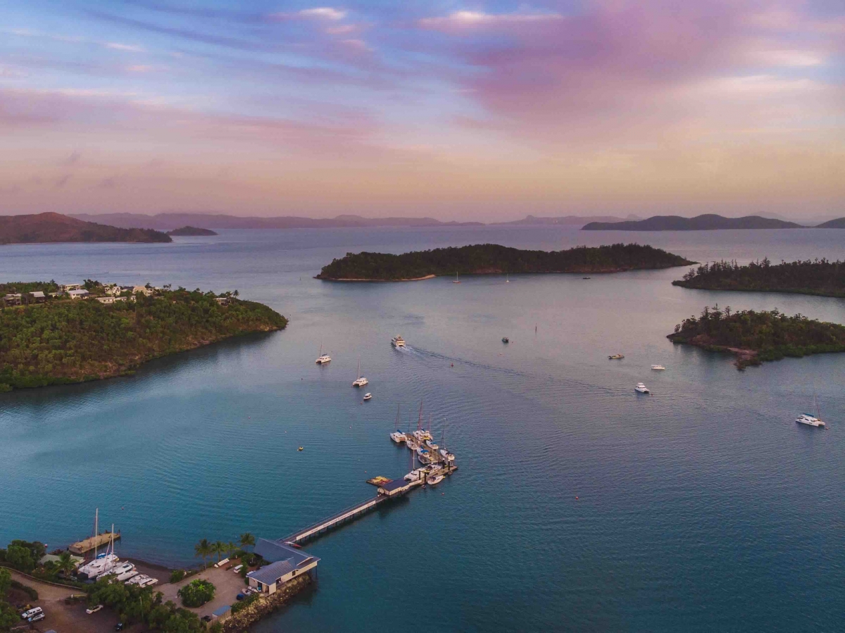
Starting at Shute Harbour, the Ngaro Sea Trail circumnavigates the Whitsunday Islands and includes hikes on Whitsunday, Hook and South Molle Island.
The length and difficulty of the different tracks range with some just 300 metres and others closer to 7km. There’s a hike to suit all timeframes and hiking abilities.
Accessing the different Sea Trail hikes on each island is best done from a private boat or hired bareboat. It’s also possible to kayak from the mainland to each island.
If you’re not using a private vessel, parts of the Ngaro Sea Trail can be accessed through day charter companies such as Mars Charters who also run from Shute Harbour.
Whitsundays Camping (SCAMPER) can assist with taking campers and their equipment to and from the trails with campgrounds. Please note that camping permits are required.
The Ngaro People
There’s evidence that the Ngaro people frequented the Islands around 9000 years ago. It’s believed that they didn’t settle on the Islands but rather used them seasonally for food, tool making and perhaps ceremony.
Canoes made of bark were used with great expertise by the Ngaro. The extent of the Ngaro’s travel using bark canoes among the islands is considered to be remarkable.
Ngaro cultural sites on the islands include the Ngaro art cave, a stone quarry & several areas such as Betty’s Beach and Hill Inlet on Whitsunday Island.

Hiking in the Whitsundays: Featured Tracks on the Ngaro Sea Trail
When hiking in the Whitsunday Islands, always take water with you. There aren’t any drinking water facilities on the walking trails.
You can download individual trail maps from the Queensland Parks and Forest website.
Ngaro Cultural Site – Hook Island
170 m one way (30 min return)
The Ngaro cultural site, or “art caves”, is a significant attraction well worth experiencing. Found deep in Nara Inlet, there’s a short track up to a viewing platform and information displays. The track is slightly steep at the start, but don’t be put off.
Tip: Look for the small beach as you go to the end of Narra Inlet; the hike starts here.
Highlight: Narra Inlet is a fantastic anchorage protected from most winds. It’s well worth spending the night here while on a bareboat charter.
Fitness Level: Moderate
Sandy Bay to Spion Kop and the Mt Jeffreys Loop – South Molle Island
5.6 km one way (4hrs return)
Traversing the length of South Molle Island, you start this hike at Sandy Bay near the South Mole Island Resort (currently shutdown). The trail winds its way gradually up through grasslands, hope pines and rainforests past a culturally significant stone quarry where you will see shattered rock on a hillside, used for tool making by the Ngaro. Of course, once you reach the lookout on Mt Jeffreys, there are spectacular 360-degree views to take in.
Tip: For those on a bareboat charter with us, South Molle is close to Shute Harbour and a great place to anchor on your first or last night.
Highlight: Bird watching
Fitness Level: Moderate
Whitsundays Peak – Whitsunday Island
2.5km one way (4 hours return)
Known as “The Roof of the Whitsundays” Whitsundays Peak has an elevation of 437m above sea level. Access the trail from the Sawmill Bay picnic area in Cid Harbour. The Whitsundays Peak walking trail is the most challenging in the Whitsundays. Rugged terrain requires some climbing (more like scrambling) and a creek crossing, making what is a relatively short walk take a fair amount of time.
Tip: Don’t swim at Sawmill Bay or anywhere in Cid Harbour. This is an area everyone needs to be Sharkwise.
Highlight: Amazing views over the Islands and also across to the mainland
Fitness Level: High
Whitehaven Beach to Chance Bay – Whitsunday Island
1.8km one way (2.5hrs return)
Chance Bay is located on the southern side of the large Whitsunday Island. Hiking to Chance is a great addition to any visit to Whitehaven. The trail branches off the Solway Circuit and showcases some of the best rainforests found on the islands.
Tip: Spend the night anchored at Chance Bay. It’s a great little spot for swimming and snorkelling away from the day-trippers visiting Whitehaven.
Highlight: If you’re short on time and prioritising a day on Whitehaven, adding a short hike to Chance Bay will give you a great perspective of the area.
Fitness Level: Minimal
Solway Circuit – Whitsunday Island
1.2 km round trip (40 min)
The Solway circuit departs from Whitehaven Beach and climbs through grass trees and pandanus up to a fantastic view of Solway Passage and Haselwood Island. It loops around and returns to Whitehaven Beach.
Tip: For an extended walk, look for the turnoff to Chance Bay
Highlight: Signage along the circuit shares how the Islands have come to be over thousands of years.
Fitness Level: Moderate
Hill Inlet Lookout – Whitsunday Island
1.3km one way (40 min total)
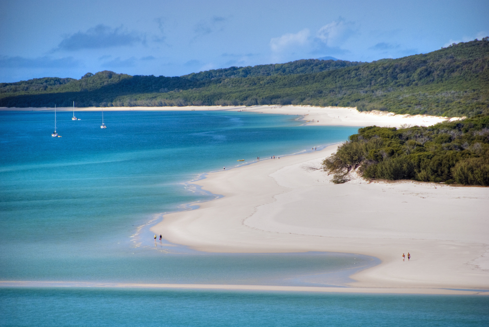
The swirling sands seen from the Hill Inlet Lookout is the most iconic view in the Whitsundays. Accessed from Tongue Bay, the lookout itself is located on top of Tongue Point, which looks down into the Inlet. The Hill Inlet Lookout walking track will take you through woodlands and rainforests to several different vantage points and beaches.
Tip: Head to Bettys Beach off the trail and on your way to the main lookout. This little cove is Whitsunday’s gem.
Highlight: The everchanging view of the Hill Inlet swirling sands.
Fitness Level: Moderate
Whitsunday Cairn – Whitsunday Island
2km one way (4-hour return)
Walking the Whitsunday Cairn is not for the faint-hearted. Steep with its share of challenges, the trail leads to a rocky summit with jaw-dropping views of Hook Island and beyond to Border Island.
Tip: Follow the markers along the track.
Highlight: Isolated trail you will likely have to yourselves
Fitness Level: High
Experiencing parts or all of the Ngaro Sea Trail when visiting the Whitsundays gives you a completely different perspective of the landscape and insight into the indigenous custodians of the land.
If you would like to experience the Ngaro Sea Trail from a bareboat charter, head to our bookings page for rates and availability. Or get in touch with our reservations team 1800 075 000 or sales@rentayacht.com.au
